Orientation
Tourist map of Montefiascone
Use this map to understand how the old town, Lake Bolsena, the hilltop viewpoints and the local Via Francigena route fit together before you arrive.
Orientation
Use this map to understand how the old town, Lake Bolsena, the hilltop viewpoints and the local Via Francigena route fit together before you arrive.
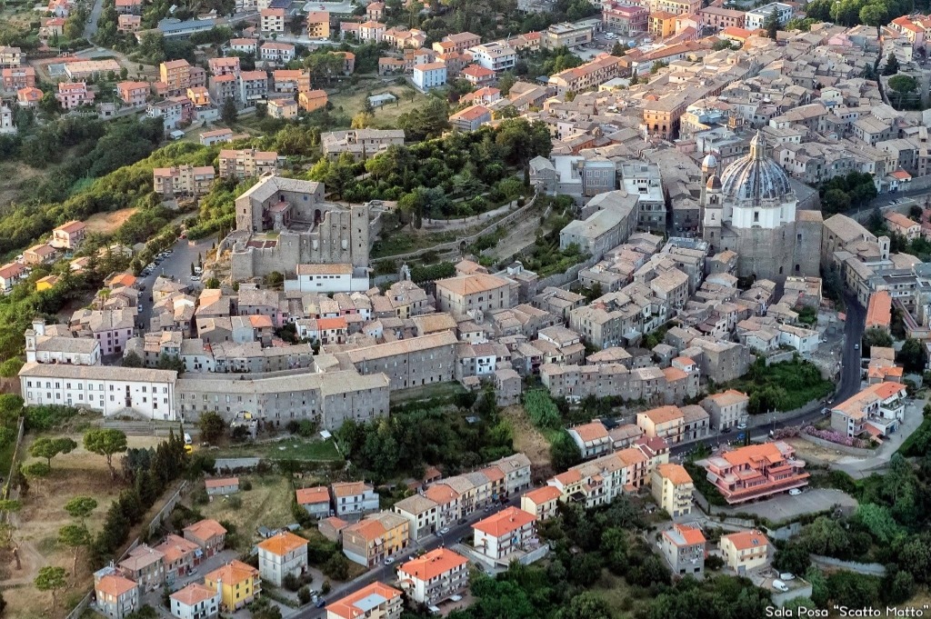
Montefiascone is not a flat lakeside resort. It stands above Lake Bolsena, so distances on a map should always be read together with altitude and walking gradients.
A practical visit usually connects the upper historic centre, Rocca dei Papi, the Cathedral of Santa Margherita and San Flaviano. The map helps you decide which order makes sense for your time and energy.
The layer below is designed for orientation rather than turn-by-turn navigation. Roads, temporary closures, parking access and event traffic can change, so always check current local information before travelling.
Topographic context
The map places Montefiascone in the volcanic landscape of Lake Bolsena and highlights the relationship between the town, the lake and the first section of the Via Francigena towards Viterbo.
The caldera outline and walking route are interpretive aids for travel planning. Use official signs and current navigation information on site.
FAQ
Start with Rocca dei Papi, Santa Margherita, San Flaviano and the Via Francigena connection.
No. It is a hill town above Lake Bolsena, so the map is useful for reading altitude and access routes.
No. It is an orientation tool. Check signs, closures and current route information while travelling.